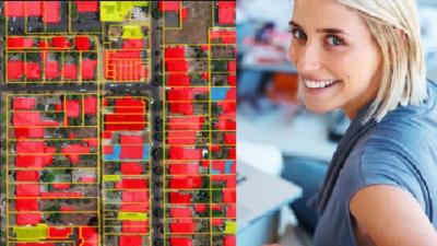
This course is designed to equip you with the basics of machine learning, and its cutting edge part of deep learning (theoretical and practical knowledge) as applied for geospatial analysis, namely Geographic Information Systems (GIS) and Remote Sensing.
By the end of the course, you will feel confident and understand the fundamentals of applying Deep Learning algorithms (such as neural networks) in GIS. I will teach you how to use Deep Learning algorithms for such geospatial tasks as object-based image analysis. By the end of this course, you will have a full idea of the ArcGIS Pro workflow for deep learning, understand Deep Learning frameworks used in ArcGIS, learn the basics of parameter selection, and algorithm application for deep learning GIS tasks.
On top of that, you will practice GIS by completing an entire geospatial project by exploring the power of Deep Learning for image analysis and GIS problems using ArcGIS Pro.
The course is ideal for professionals such as geographers, programmers, social scientists, geologists, and all other experts who need to use maps in their field and would like to learn more about Machine Learning in GIS.
One important part of the course is the practical exercises. You will be given some precise instructions and datasets to apply Deep Learning algorithms using the ArcGIS Pro software

